
Jane Crayton
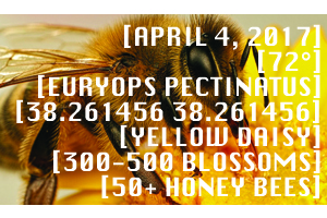
BeeWise Honey Bee Pollen & Nectar Map
Map Pollen and Nectar Sources
Anywhere
- Ongoing
Citizen ScienceNature & OutdoorsInsects & PollinatorsAgriculturepollinators/insectshoney beesflowers
 We're in beta! If you find a bug or have feedback, let us know in our issue tracker.

Map Pollen and Nectar Sources
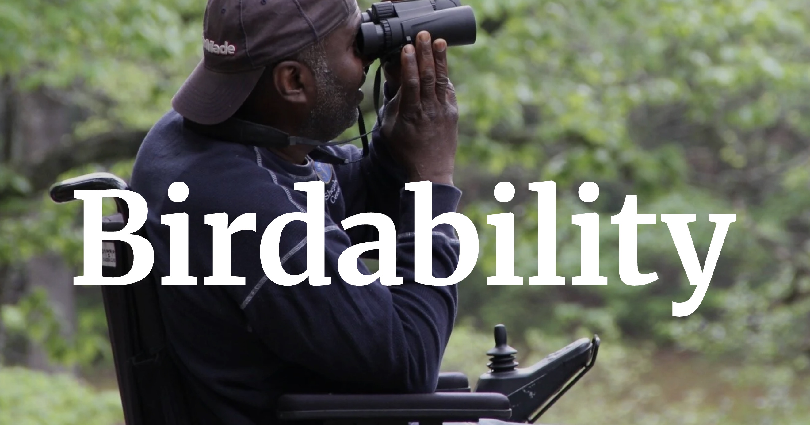
Map accessibility features of birding locations across the world
Help the NPS understand and manage its natural resources.
Multiple locations, including yours!
Observe and report invasive species
Multiple locations, including yours!
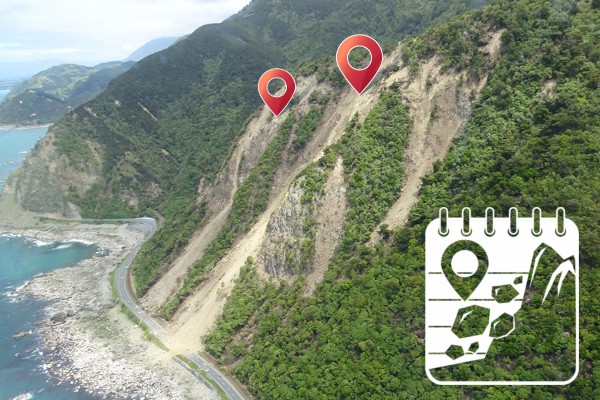
Build open global landslide data for science and decision-making.
EDRR resource for invasive species in the Midwest region of U.S.
Multiple locations, including yours!
Enable individuals and organizations to easily manage data.
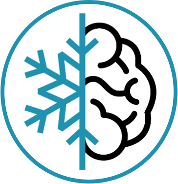
Science, math (& more!) outdoors, one snowball at a time ❄!
Multiple locations, including yours!
Teach spatial citizenship & geographic methods.